Polar Books Catalogue
-
Sections : Antarctic; Arctic; Journal of the Manchester Geographical Society; Maps; Miscellaneous; Mountaineering; General Polar; Scott; Other travel; Whaling;
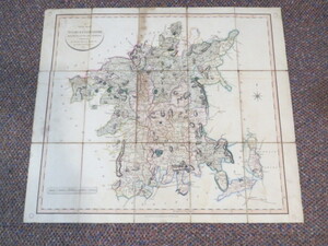
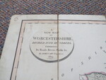
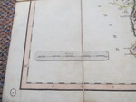
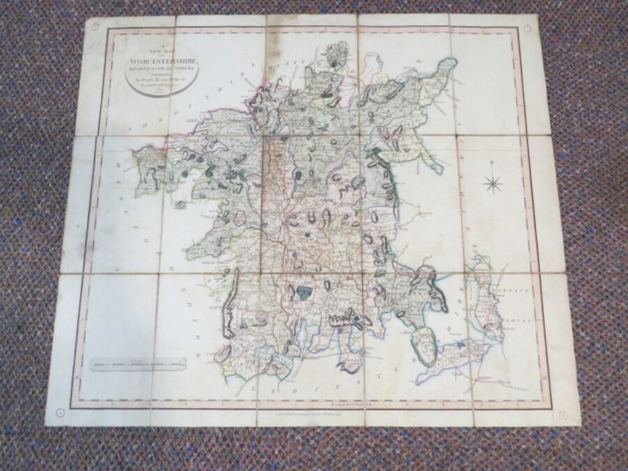
Reference 3581 (1881) Category Maps; Author Cary, John Title A New Map of Worcestershire divided into hundreds exhibiting its roads, rivers, park etc., Antique Map Publishing Information George & John Cary, 1834. Description Large antique hand-coloured folding map dissected into12 sections and laid on linen, with hard covers. Old drawing pin holes in corners where it was previously attached to a wall at some point! Worcestershire 1824 written in ink on hard cover. Covers nibbled, small pieces missing but overall a nice example. Price £75.00 Keywords ISBN Add this to your basket