Polar Books Catalogue
-
Sections : Antarctic; Arctic; Journal of the Manchester Geographical Society; Maps; Miscellaneous; Mountaineering; General Polar; Scott; Other travel; Whaling;
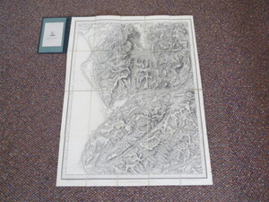
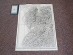
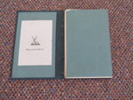
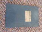
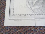
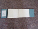
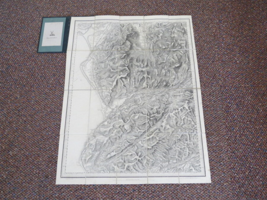
Reference 3675 (1932) Category Maps; Author Ordnance Map Office (Col. Colby) and Edward Stanford, London: Title Ordnance Survey Map 1837/74: Dolgelley & Barmouth Publishing Information Published by Ordnance Survey (Col. Colby), 1874 Description Scale is 1 inch to 1 statute mile. Linen mounted monochrome map, 26x20 inches, folds to form a hardcover cased booklet approximately 7x4 and a half inches. Engraved at the Ordnance Map Office and published by Col. Colby on Ist Jan 1837 (stated on right lower margin). On the left hand lower margin Electrotyped in 1874.The map is engraved in monochrome on paper backed with linen and folds out into 20 sections, Overall in very good condition, previous owners name to label and owners bookplate (Henry Gilbert Wintle). Price £40.00 Keywords ISBN Add this to your basket