Polar Books Catalogue
-
Sections : Antarctic; Arctic; Journal of the Manchester Geographical Society; Maps; Miscellaneous; Mountaineering; General Polar; Scott; Other travel; Whaling;
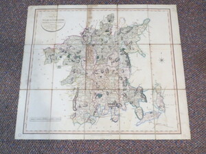
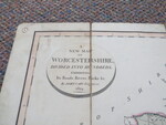
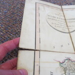
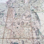
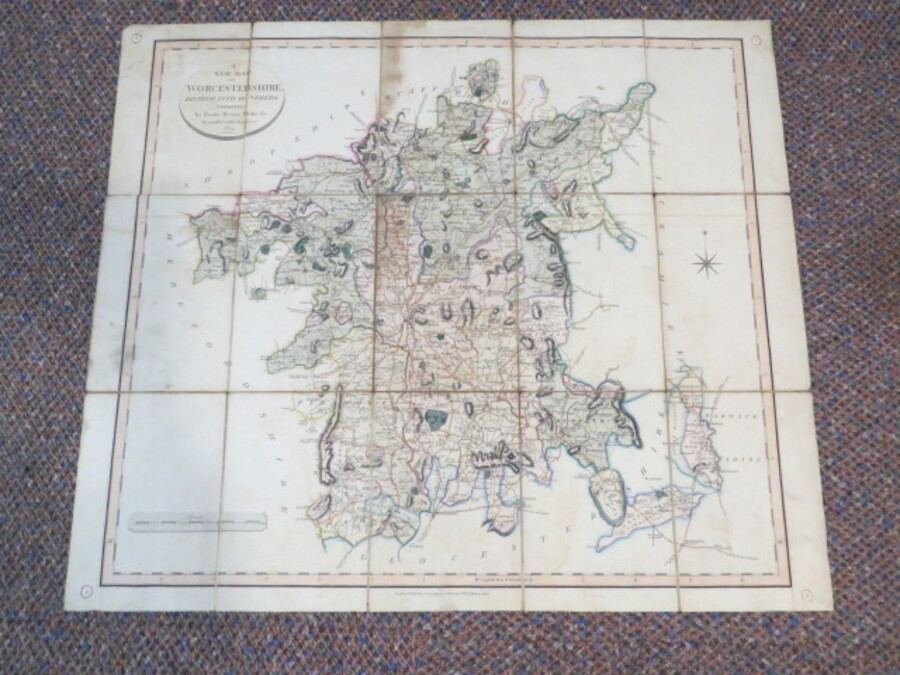
Reference 3581 (1881) Category Maps; Author Cary, John Title A New Map of Worcestershire divided into hundreds exhibiting its roads, rivers, parks etc., Antique Map Publishing Information George & John Cary, 1834. Description Large antique hand-coloured folding map dissected into12 sections and laid on linen, with hard covers. Old drawing pin holes in corners where it was previously attached to a wall at some point. Worcestershire 1824 written in ink on hard cover. Covers nibbled, small pieces missing, some evidence of damp staining, fading, small split to one edge but all complete. Covers worn with loss to edges. John Cary was one of the most prolific and skilfull of all English publishers and cartographers, who flourished in the late eighteenth and early nineteenth centuries. His works are rightly praised and known for their accuracy, attention to detail and fineness. This map of Worcestershire is from his popular 'New English Atlas'. Size: 480x585mm. Price £25.00 Keywords ISBN Add this to your basket