Polar Books Catalogue
-
Sections : Antarctic; Arctic; Journal of the Manchester Geographical Society; Maps; Miscellaneous; Mountaineering; General Polar; Scott; Other travel; Whaling;


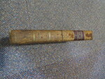
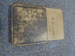
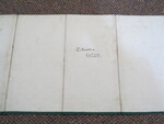
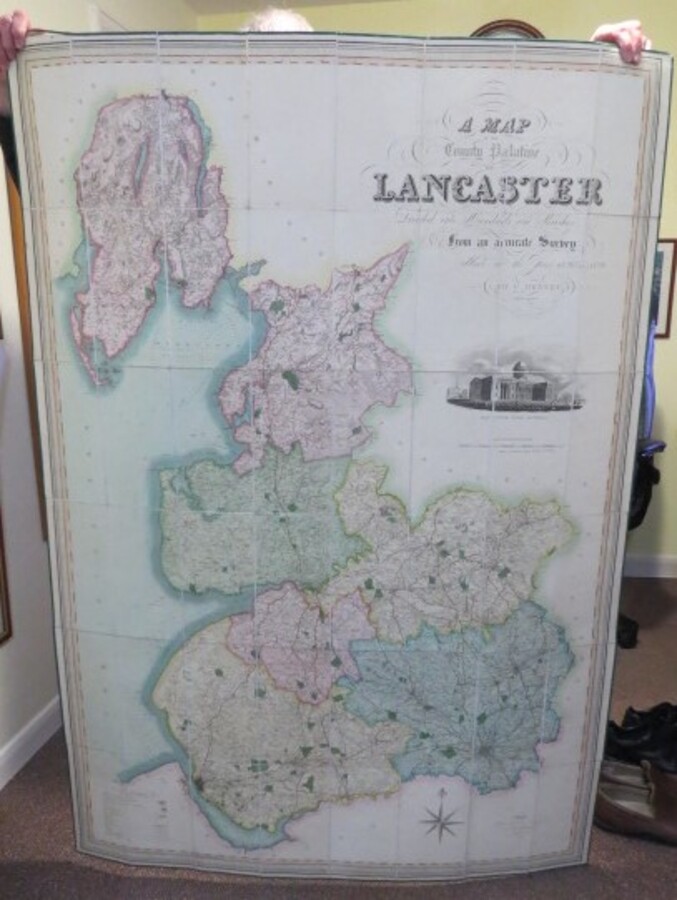
Reference 3958 (2195) Category Maps; Author Henry Teesdale (Hennet, George Surveyor) (James Bingley, Engraver) Title A Map of the County Palatine of Lancaster Divided into Hundreds and Parishes from an accurate Survey made in the Years 1828 and 1829. Publishing Information London, 302 High Holborn: Henry Teesdale & Co., May 1. 1830. Description Large engraved folding map, hand-coloured in hundreds, with an engraved inset view of the New Custom House, Liverpool. Dissected and mounted on linen, edged in green cloth, With original pull-off slipcase, marbled edges, spine label still intact. 1160mm x 1640mm. A fine map of the county in a scale of 3/4 inch to 1 mile, engraved by J. Bingley. Previous owner name to slip case and rear of map. Slipcase worn, cloth edging slightly worn and loosening in a couple of places, colours still nice and bright. Price £600.00 Keywords ISBN Add this to your basket