Polar Books Catalogue
-
Sections : Antarctic; Arctic; Journal of the Manchester Geographical Society; Maps; Miscellaneous; Mountaineering; General Polar; Scott; Other travel; Whaling;

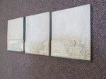
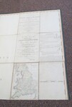
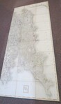
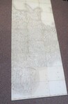
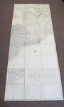
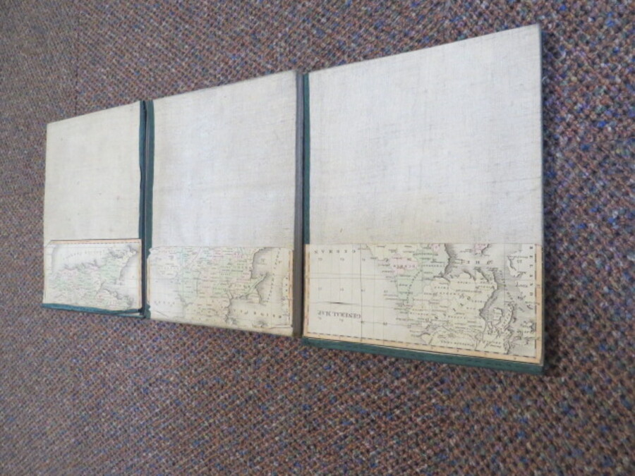
Reference 3960 (2196) Category Maps; Author Cary, J. Title CARY'S NEW MAP OF ENGLAND AND WALES WITH PART OF SCOTLAND, in 3 parts. Publishing Information London: J. Cary, Engraver and Map Seller, June 11th,1794 Description 1794 Edition: CARY'S NEW MAP OF ENGLAND AND WALES WITH PART OF SCOTLAND On which are carefully laid down all the direct and principal crofs roads, the courfe of the rivers and navigable canals. Cities, Market and Borough Towns, Parishes, and most considerable Hamlets, Parks, Forest &c.&c. delineated from Actual Surveys and materially afsifted from AUTHENTIC DOCUMENTS Liberally supplied by The Right Honourable POSTMASTER GENERAL. In 3 parts, each part 1780mm x 340mm. To the reverse of each part is a small index map showing that section.The equivalent outer edges have a green cloth bordering. Highly detailed and with the map subdivided it does makes it more manageable to handle. The slipcase is worn, scuffed, with surface and edge loss but structurally rigid and sound, 1794 is written in ink on the slipcase. A really nice example, rarely seen in this form. Price £1000.00 Keywords ISBN Add this to your basket