Polar Books Catalogue
-
Sections : Antarctic; Arctic; Journal of the Manchester Geographical Society; Maps; Miscellaneous; Mountaineering; General Polar; Scott; Other travel; Whaling;

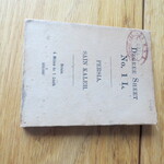
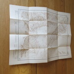
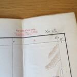
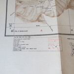
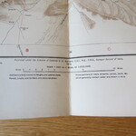
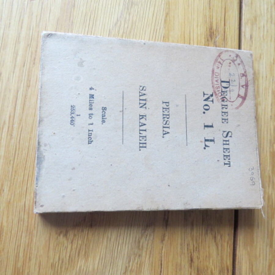
Reference 3969 (2211) Category Maps; Author Colonel S.G. Burrard (Surveyor General) Title Degree Sheet No.1L Persia, Sain Kaleh. Map Scale: 1inch to 4 miles Publishing Information Culcutta: Survey of India, 1912. Description 1st Edition: Scale: 1 inch to 4 miles (1:253,440) Size 46cm x 38cm. Original Heliozincograph extremely detailed map. Area depicted degrees 36to37north and 46to47 east of Greenwich, Azarbaijan and Kurdistan (Ardalan) Provinces and includes the towns of Mianduab, Sakiz and Sain Kaleh. The Key includes: Roads suitable for wheeled traffic, camel roads, mule paths, footpaths, unsurveyed or doubtful routes and water, oil wells, Mosque or Imamzadeh, Fort, Watch Towers and deserted villages in the area of Persia and Sain Kaleh. Published in 1912 by the India Survey Office under the direction of Sir Sidney Gerald Burrard (1860-1953), who was Colonel and Surveyor General of India at that time. The map was classified at the time of release and could only be obtained on indent at the Map Record and Issue Office in Calcutta. Original fold lines into 16 sections with minor age toning and marks. For Official Use Only Stamp stamp. There is a 14th Division stamp (Royal Hussar's) to the front cover and No.22/9 in pencil. The "Degree Sheet" surveys of Iraq and Persia, made to a scale of 1 inch to 4 miles. These extremely detailed maps improved on the extant British cartography of those countries and were surely executed in an effort to maintain control over newly discovered oil reserves in south-western Persia. The Southern Asia Series ran from 1912 to 1945, extending from Northern Persia and the Gulf of Aden to Vladivostok and Papua New Guinea. The "Degree Sheet" series of maps of Iraq and Persia. A fascinating piece of history. Price £500.00 Keywords ISBN Add this to your basket