Polar Books Catalogue
-
Sections : Antarctic; Arctic; Journal of the Manchester Geographical Society; Maps; Miscellaneous; Mountaineering; General Polar; Scott; Other travel; Whaling;
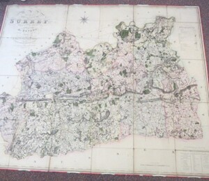
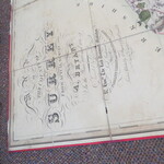
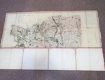
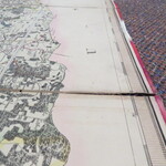
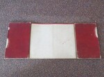
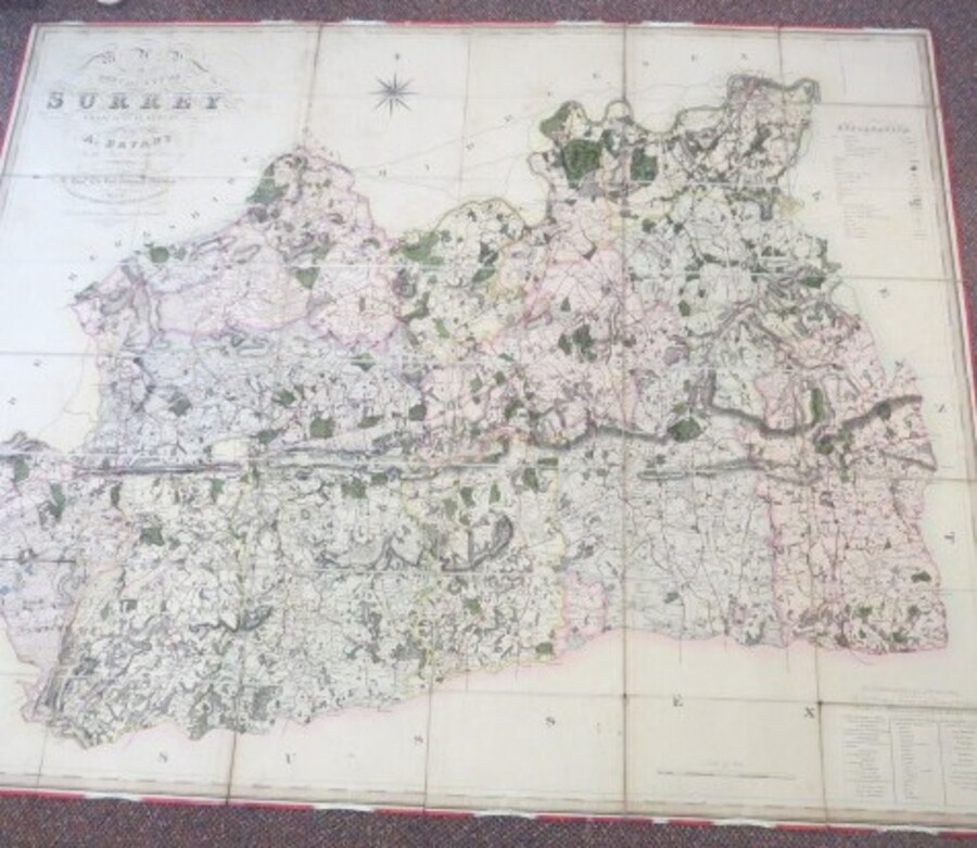
Reference 3963 (2214) Category Maps; Author Bryant, Andrew Title Map of the County of Surrey from Actual Survey by A. Bryant, in the Years 1822 and 1823 Publishing Information London:A. Bryant, 27 Great Ormond Street, London, 1823 Description 1st Edition: Map of the County of Surrey from Actual Survey by A. Bryant in the years 1822 and 1823 Inscribed by permission to the Right Honorable The Lord Vicount Midleton, Lord Lieutenant to the Noblity, Clergy and Gentry of the County. Scale 1 and a half inches to 1 mile. 1:42,000. Map Size 1320 x 1590 mm. Very large coloured engraved map with contemporary colouring, sectionalised and laid on linen, calligraphic title and compass rose, list of ecclesiastical divisions and table of explanation. Land Agency and Accountancy Offices Lowland Road Runcorn stamps on the back. Covers worn, with some evidence of past damp damage to linen and edges, not affecting the actual map. Some loss, splitting of linen. No slip case. An ideal candidate for a little bit of renovation and hanging somewhere on a large wall, preferably in Surrey! This survey of Surrey was carried out in the years 1822 and 1823 and published 1 June 1823, three months before that of the Greenwoods. There was only one edition. The Bryant was issued on a greater scale of one and a half inches to the mile. A highly regarded detailed map drawn to the scale of one and a half inches to the mile. The Key shows that the detail includes amongst others individual buildings, castles, nursery grounds and gardens, canals, turnpike and mail roads, lanes and bridle ways, and even fox covers. Even the iron railway from Wandsworth is identified. The roads are shown with the distance from London in miles. The two great publishers of the nineteenth century of large-scale county maps were the Greenwood brothers and Andrew Bryant (fl.1822-35). The Ordnance Survey which with government backing eventually forced them both out of the business. Bryant followed Greenwood into the business and published his first county survey of Hertfordshire in 1822. There was a total of twelve county surveys published and one of the East Riding of Yorkshire, the last being that of Herefordshire in 1835. Rodger (1972) 444; Tooley Dictionary (1999-2004); Worms & Baynton-Williams (2011). Price £500.00 Keywords ISBN Add this to your basket