Polar Books Catalogue
-
Sections : Antarctic; Arctic; Journal of the Manchester Geographical Society; Maps; Miscellaneous; Mountaineering; General Polar; Scott; Other travel; Whaling;
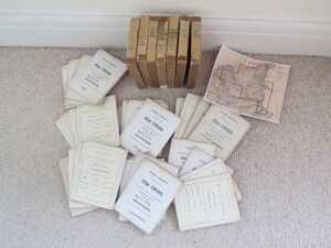

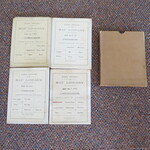
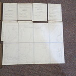
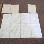
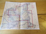
Reference 3971 (2220) Category Maps; Author Ordnance Survey Title Ordnance Survey Great Britain County Series. Scale 1:10560 Six inches to One mile. Folding Maps Carnarvonshire 24 Map Set Publishing Information Ordnance Survey,1901 to 1914. Description Various Editions 1901 to 1914: Ordnance Survey 1:10560 / six-inch to one mile. Set of 28 maps in 7 slip cases. Each folding map is dissected into 8 sections and laid on linen, 4 per slip case. [6.75 x 4.5 inches] with a hand-written paper label. Set of 24 sheets covering the County of Carnarvonshire, (as was) in Wales. 1887,1874 - revised in 1899. Each map approx. 38cmx42cm . All neatly labelled with details of map and Harry Trickett Map Library. They have been cut in a way that the keys are often missing but they all would neatly join together and I suspect various sets would have been taken on various walking or surveying trips in the area. Sheets : Carnarvonshire 4SW, 6SE, 7SE, 7NE, 8SE, 8NW, 11SE,11NE, 12SE,12SW, 13SE,13NE,13NW,14SW,14NW, 18NW,18SE,18SW,19NW,19SW and 24NW are the 1901 Second Edition: 12NW,12NE,13SW,18NE are the1916 Edition, 4SE is the 1915 Edition, and 24SW is the1914 Edition. Some maps have some damp staining to linen but overall a very nice clean set. Included is photocopy of the County Series Index illustrating the area covered.The Ordnance Survey Great Britain County Series maps were produced from the 1840s to the 1890s. The six-inch sheets covered an area of six by four miles on the ground; the twenty-five inch sheets an area of one by one and a half. One square inch on the twenty-five inch maps was roughly equal to an acre on the ground. In later editions the six-inch sheets were published in "quarters" (NW, NE, SW, SE), each covering an area of three by two miles on the ground. The first edition of the two scales was completed by the 1890s. A second edition (or "first revision") was begun in 1891 and completed just before the First World War. Price £400.00 Keywords ISBN Add this to your basket
