Polar Books Catalogue
-
Sections : Antarctic; Arctic; Journal of the Manchester Geographical Society; Maps; Miscellaneous; Mountaineering; General Polar; Scott; Other travel; Whaling;
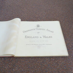
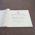
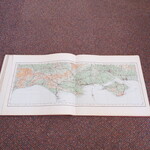
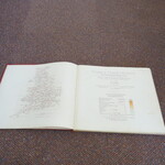
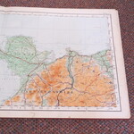
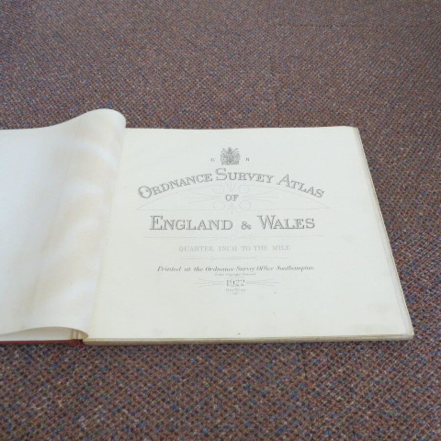
Reference 3979 (2222) Category Maps; Author Ordnance Survey Title ORDNANCE SURVEY ATLAS OF ENGLAND AND WALES. Scale: Quarter inch to the Mile, 1:253440 Publishing Information Southampton: Ordnance Survey, 1922 Description 1922 Edition: Large oblong folio-sized book (39.5cm by 36 cm). Original covers, [4], 24 double folios of maps, 21page index of Towns and Villages. Complete with 24 colour folio maps, canvas-backed for durability. Early OS map book. Covers grubby, almost disbound, front end papers age toned, maps in very good condition. Folios 7 and 10 (North and West Wales) have a route over marked otherwise contents clean. Priced accordingly. Price £60.00 Keywords ISBN Add this to your basket