Polar Books Catalogue
-
Sections : Antarctic; Arctic; Journal of the Manchester Geographical Society; Maps; Miscellaneous; Mountaineering; General Polar; Scott; Other travel; Whaling;
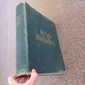
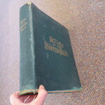
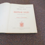
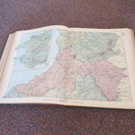
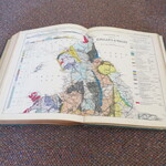
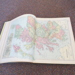
Reference 3980 (2223) Category Maps; Author Bacon G.W. (Editor) Title Commercial and Library Atlas of The British Isles from The Ordnance Survey; with Index-Gazetteer etc. Atlas Publishing Information London: G.W. Bacon & Co.,1897 Description 1st Edition: Large Atlas (Approx. 29cm by 36 cm). Original covers, 6 page preface with facts and diagrams, County Index, 3 Key Maps of England Scotland and Ireland, 100 County and Town Maps of England, Scotland, Wales and Ireland, 2 Geological Maps of England, 1 Map of the World followed by a 59(lix) page Historical Geographical and Commercial description of The British Isles, Indexes, Census and Gazetteer. Fascinating item. Covers worn, beginning to fray, contents clean. Price £550.00 Keywords ISBN Add this to your basket
