Polar Books Catalogue
-
Sections : Antarctic; Arctic; Journal of the Manchester Geographical Society; Maps; Miscellaneous; Mountaineering; General Polar; Scott; Other travel; Whaling;
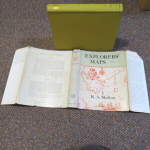

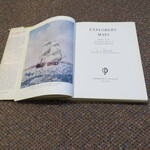

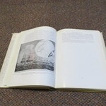
Reference 3995 (2234) Category Maps; Author Skelton, R A Title Explorers' Maps: Chapters in the Cartographic Record of Geographical Discovery. Publishing Information New York: Frederick A. Praeger, 1958. Description 1st US Edition: xi, 337 pages, illustrated with colour frontispiece, b/w maps, photos and charts. Index. Original covers in price clipped dustjacket "The book may be regarded as a pictorial companion to general histories of exploration .The maps used or drawn by explorers describe the borderland between the known and the unknown. Their evidence may tell us what a traveller expected to find or what he in fact discovered. They may have the authority of a prophecy, of a prospectus, or of a chronicle. In early maps information derived from theory and from experience is often inextricably entangled, and for this very reason they are important documents in the history both of geographical ideas and of geographical discovery. They illustrate the always shifting 'relation of observation, theory, and practice' in this field of science." A tight and nice first edition of this cartographic classic. Price £25.00 Keywords ISBN Add this to your basket
