Polar Books Catalogue
-
Sections : Antarctic; Arctic; Journal of the Manchester Geographical Society; Maps; Miscellaneous; Mountaineering; General Polar; Scott; Other travel; Whaling;


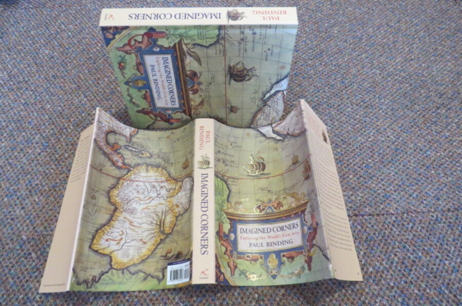
Reference 4010 (2247) Category Maps; Author Binding, Paul Title IMAGINED CORNERS: Exploring the World's First Atlas Publishing Information London: Headline, 2003. 0747230404 Description 1st Edition: 314 pages, illustrated, end paper maps, illustrations in colour and b/w. Original pictorial covers in unclipped dust jacket. As new, appears unread. The world's first-ever atlas published in Antwerp was the brain-child of Abraham Ortelius, it reflected the great vitality of the era, the prevailing zest for exploration and discovery and the linked activities of commerce and map-making during very turbulent times. The Author has spent many hours in Antwerp researching Ortelius's life and his work, drawing on many unpublished letters and archives to produce this wonderful book. Reviews: "Binding thinks like a scholar but he writes like a poet"- Literary Review "Binding's book is stunningly designed and worth every penny to lovers of history, maps and books"- Melbourne Age. About the Author: Paul Binding is a novelist, critic, poet and cultural historian. He studied English Literature at Oxford University and is Senior Associate Member of St Antony's College, Oxford. He reviews regularly, especially for the Independent on Sunday and Times Literary Supplement. Price £20.00 Keywords ISBN Add this to your basket