Polar Books Catalogue
-
Sections : Antarctic; Arctic; Journal of the Manchester Geographical Society; Maps; Miscellaneous; Mountaineering; General Polar; Scott; Other travel; Whaling;

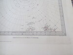
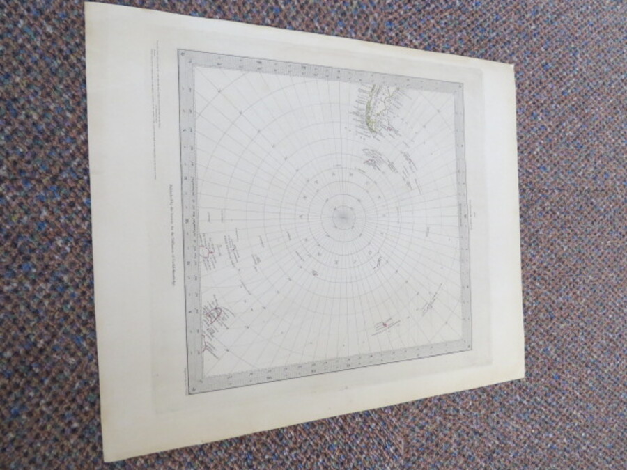
Reference 4026 (2261) Category Maps; Author Walker, J & C (Engraved by) Title Circumjacent the South Pole No. 6 Map No date 1841-1842 Publishing Information The Society For The Diffusion Of Useful Knowledge & J & C Walker Description No Date: Circa 1842 Engraved by J & C Walker. No Binding. Sheet Size: 34cm x 41cm. Hand coloured. Edition up to 1842 as Grahamland, Enderby Land, Sabrina land, La Terre Adele, Emerald Island and Balleny Island are shown. Ref: Tooley: 97. 0.5cm closed repaired tear with archival tape to lower left corner not affecting map. Slight age toning to sheet. In very good condition overall. Enderby land was discovered in February, 1831, by John Biscoe on the Tula and named after Enderby Brothers of London, owners of the Tula, who encouraged their Captains to combine exploration with sealing. The beginning of the nineteenth century saw a period of rapid market growth and innovation in the map publishing world. Increased literacy and public interest in new frontiers and colonies overwhelmed the market because it was oriented toward the small, affluent market of the previous century. With the intent to fill this void, The Society for the Diffusion of Useful Knowledge (SDUK) was founded in 1828 in London, by Lord Brougham and a group of men dedicated to the education of the aspiring working class and the Utilitarian ideal of 'Knowledge is Power.' The society produced an array of education materials, but the series of maps was one of their most successful ventures. A number of engravers and printers were used to produce the maps, which eventually exceed 200 sheets, and continued to be published after the Society as a whole ceased to function. This map was produced to illustrate the latest discoveries in Antarctica including South Shetland, Enderby Land, Sabrina Land, La Terre Adele, and Balleny, which are all delineated within the Antarctic Circle. This is the earlier issue of this map, before the explorations in the Antarctic started to coalesce into a rudimentary coastline. Price £80.00 Keywords ISBN Add this to your basket