Polar Books Catalogue
-
Sections : Antarctic; Arctic; Journal of the Manchester Geographical Society; Maps; Miscellaneous; Mountaineering; General Polar; Scott; Other travel; Whaling;


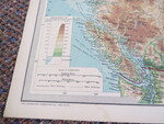
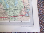
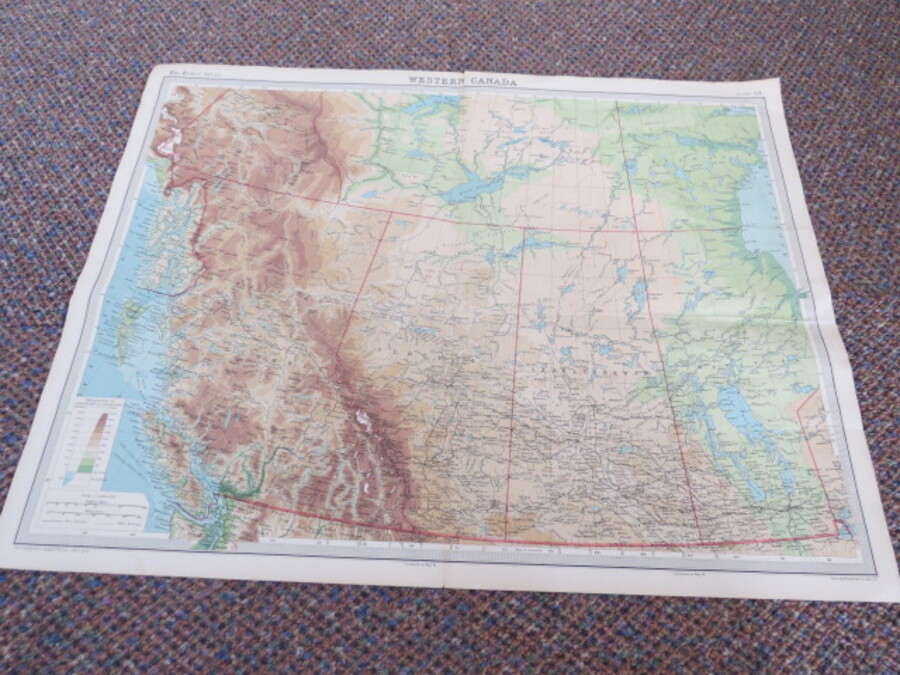
Reference 4030 (2265) Category Maps; Author Bartholomew, John & Son Title Times Survey Atlas of the World Plate 39 (Map of Western Canada) Publishing Information Edinburgh, 1920. Description Coloured Map of Western Canada, Plate 39 42 x 55 cm on sheets 46 x 59 cm. Folded color map, index printed on reverse. The maps were all specially compiled for the Atlas over the previous 5 years. The map has 4 closed neatly repaired tears and has an additional slight crease where it has been folded in the past, probably to fit a drawer. Some spotting to reverse. Map clean. Price £10.00 Keywords ISBN Add this to your basket