Polar Books Catalogue
-
Sections : Antarctic; Arctic; Journal of the Manchester Geographical Society; Maps; Miscellaneous; Mountaineering; General Polar; Scott; Other travel; Whaling;
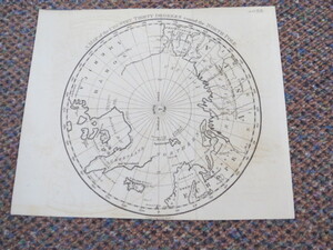
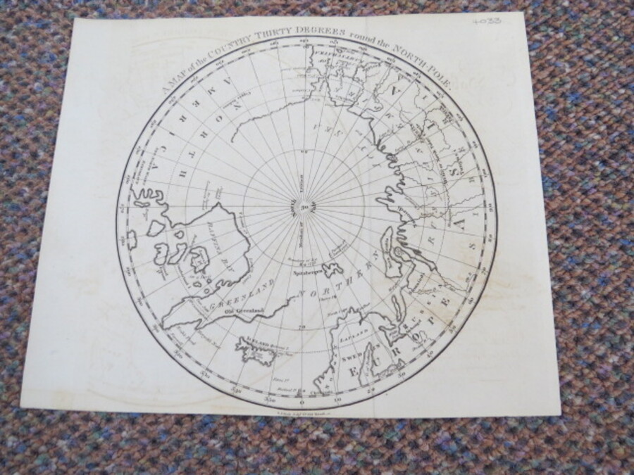
Reference 4033 (2266) Category Maps; Author Neele, Samuel John. Title A Map of the Country Thirty Degrees Round the North-Pole. Publishing Information London: Neele, Samuel John, circa 1791 Description Uncoloured; light signs of old folds possibly from how it wasfolded in the book. Trimmed close to neatline at bottom with loss of engraver's imprint. The map is 19cm in diameter. A map of the Arctic Circle to just over 60 degrees south. The northen coast of North America and Greenland is very sketchy. Engraved by Samuel Neele. Undated but Longman & Co., published a similar but slightly more detailed map in 1808. "The Copper Indians" are mentioned and at 80 degrees a note stating "Boundary of Ice 1773". Greenland is shown connected to the continent across Baffin's Bay. Possibly the map came from Part 1 of the book "The habitable world described: or the present state of the people in all parts of the globe....With a great variety of maps and copper-plates" by the Rev. Dr. John Trusler. Publication date 1791. Price £75.00 Keywords ISBN Add this to your basket