Polar Books Catalogue
-
Sections : Antarctic; Arctic; Journal of the Manchester Geographical Society; Maps; Miscellaneous; Mountaineering; General Polar; Scott; Other travel; Whaling;
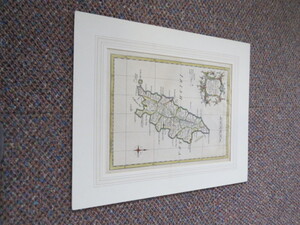
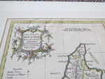
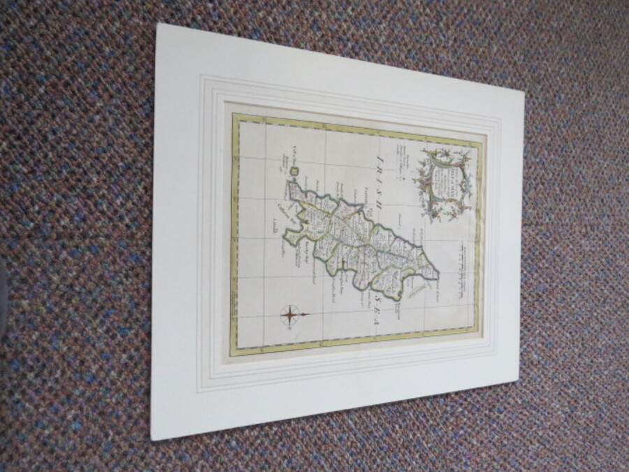
Reference 4047 (2282) Category Maps; Author Kitchin, Thomas Title A NEW MAP OF THE ISLE OF MAN: Drawn from the Best Authorities by Tho.Kitchin Geogr Engraver to H.R.H. the Duke of York. Publishing Information London: Kitchin, Thomas, 1764 Description Original engraved map. Scale 69 statute miles to 1 degree. Hand coloured, map measures approx. 19x25cm in mount board, overall size 30.5cmx36.5cm. In good clean condition, very minor wrinkling where map has been attached behind board, should be easy to remove. Information: Thomas Kitchin(1718-1784) Born in Southwark, apprenticed to Emanuel Bowenin 1732. From 1773 Kitchin was royal hydrographer to the King. Kitchin lived and worked in London until his retirement. Price £50.00 Keywords ISBN Add this to your basket