Polar Books Catalogue
-
Sections : Antarctic; Arctic; Journal of the Manchester Geographical Society; Maps; Miscellaneous; Mountaineering; General Polar; Scott; Other travel; Whaling;
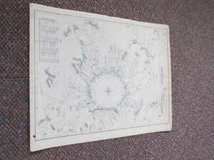
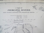

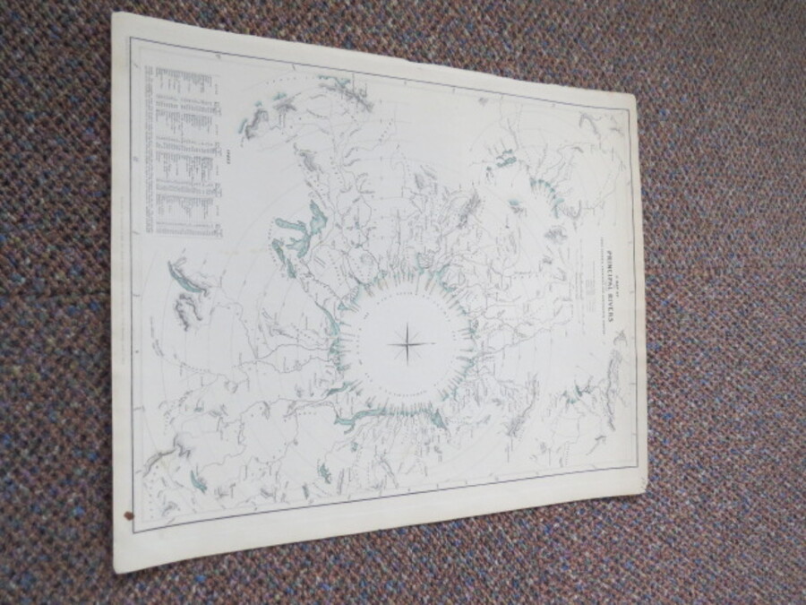
Reference 4049 (2284) Category Maps; Author Walker, J.C. (Engraved by) Title A Map of the Principal Rivers Shewing Their Courses, Countries and Comparative Lengths. Publishing Information London: Chapman and Hall for The Society for the Disffusion of Useful Knowledge, April 1st, 1834 Description Scale 1 degree to 69 English Miles or 1 degree to 25 French Leagues. Map size 39cmx31cm. Small stain on bottom right edge, not affecting map. Outline color. An unusual map showing the world's longest rivers all flowing into a large circular sea near the center of the sheet. A very novel and artistic way to compare rivers. Unusual as the SDUK generally produced maps with greater emphasis on information than aesthetics. Engraved by J. & C. Walker. Price £90.00 Keywords ISBN Add this to your basket