Polar Books Catalogue
-
Sections : Antarctic; Arctic; Journal of the Manchester Geographical Society; Maps; Miscellaneous; Mountaineering; General Polar; Scott; Other travel; Whaling;

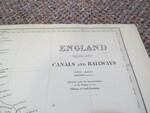
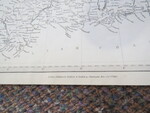
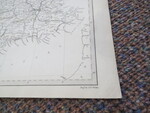
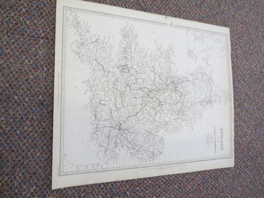
Reference 4052 (2287) Category Maps; Author Walker, J & C. (Engraved by) Title England With the Canals and Railways Map. Published under the Superintendence of Society for the Diffusion of Useful Knowledge Publishing Information London: Baldwin & Cradock Published under the Superintendence of Society for the Diffusion of Useful Knowledge, Oct 1st 1837 Description Antique Map: Black and White. 38.5cm x 30cm. Scale: 1 degree to 69.14 English Statute miles. Slight age toning, mark to left hand side not affecting map. Price £40.00 Keywords ISBN Add this to your basket