Polar Books Catalogue
-
Sections : Antarctic; Arctic; Journal of the Manchester Geographical Society; Maps; Miscellaneous; Mountaineering; General Polar; Scott; Other travel; Whaling;


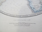
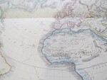
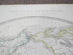
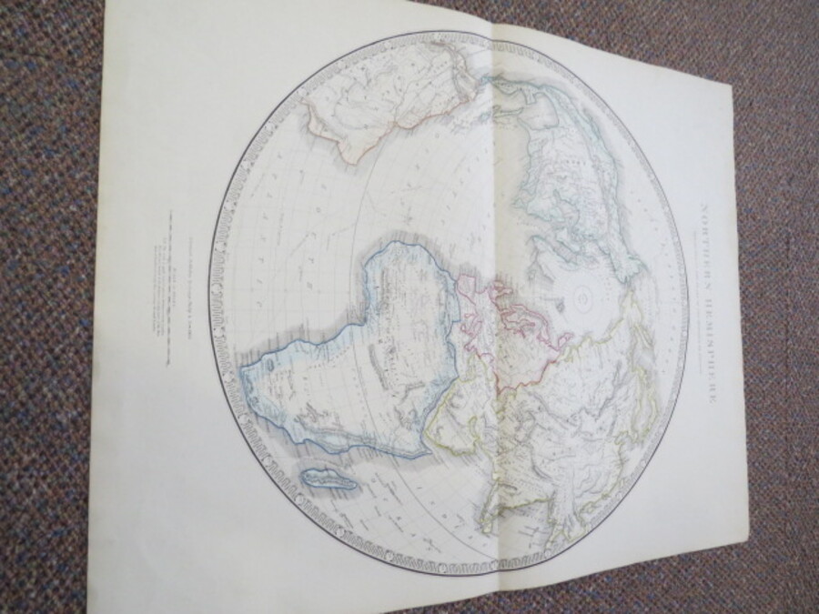
Reference 4054 (2289) Category Maps; Author Philip, George & Son (Published by) Title Northern Hemisphere, projected on the plane of the horizon of London Publishing Information Liverpool: George Philip & Son, 1853 Description Large coloured map of the Northern Hemisphere. Size 50.5cm diameter. Scale: Approx. 1 and half inches to100miles, (N.B. Scale is quite correct only for distances from London, It is also very nearly so for any part of the Meridian of London or any lines passing through Large coloured map of the Northern Hemisphere dated 1853. Size of map 50.5cm diameter. Scale: Approx.1 and half inches to100miles (N.B. Scale is quite correct only for distances from London, It is also very nearly so for any part of the Meridian of London or any lines passing through London). Impressive detailed map with geographic regions outlined in colour. The nonexistent Mountains of Kong are shown running west-east but do not join The Mountains of the Moon. Camel routes across Northern Africa are shown. The voyages of Captain James Cook are shown in dashed and solid lines. The Number 6 is shown on the top right hand corner. The reverse is blank. Price £125.00 Keywords Parry S1-Map ISBN Add this to your basket