Polar Books Catalogue
-
Sections : Antarctic; Arctic; Journal of the Manchester Geographical Society; Maps; Miscellaneous; Mountaineering; General Polar; Scott; Other travel; Whaling;
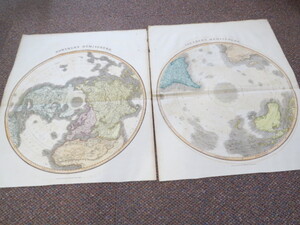
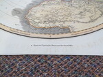
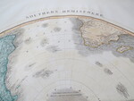
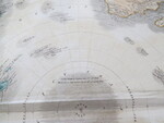
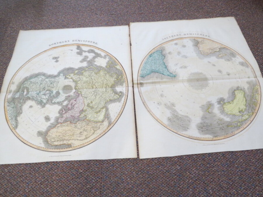
Reference 4055 (2290) Category Maps; Author Thomson, J Title Northern Hemisphere and Southern Hemisphere Maps Publishing Information Edinburgh: John Thomson, Circa 1814. Description A set of 2 large coloured maps, 1 of the Northern Hemisphere, the other of The Southern Hemisphere. Size 50cm diameter. Impressive detailed maps with geographic regions outlined in colour. There a slight ghosting of the words Southern Hemisphere and /or Northern Hemisphere on each map. The non-existent Mountains of Kong running west-east join The Mountains of the Moon. The Number 3 is shown on the top left hand corner of The Northern Hemisphere Map and the Number 2 on the Southern Hemisphere map. Cook's highest latitude South is noted on the South Pole. The reverse of both maps are blank. John Thomson produced His New General Atlas between 1814 and 1821. Folded as issued. There is an extra fold on the Southern Hemisphere map which can hopefully be pulled out if framing. Beautiful font design title banner. John Thomson (1777 - 1837) was a Scottish bookseller and publisher active in the early 19th century, who was one of the leaders in Europe who favored detailed and accurate mapping over the decorative and elaborate cartouches that appeared in earlier maps. His most important work was "Thomson's New General Atlas" and his "Atlas of Scotland". Although he went into bankruptcy twice during his career, his maps are today highly desirable for their scale and detail. Price £300.00 Keywords ISBN Add this to your basket