Polar Books Catalogue
-
Sections : Antarctic; Arctic; Journal of the Manchester Geographical Society; Maps; Miscellaneous; Mountaineering; General Polar; Scott; Other travel; Whaling;

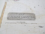
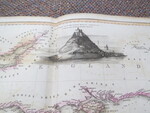
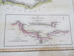
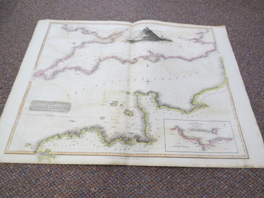
Reference 4061 (2295) Category Maps; Author Thomson, J Title The British Channel with The Breakwater of Cherbourg and Engraving of St. Michael's Mount. Publishing Information John & George Menzies for John Thomson's "New General Atlas", 1828 Description Antique early 19th century folding atlas map with original hand colouring; Drawn & engraved by John & George Menzies for John Thomson's "New General Atlas" Issued in the 1828 edition of Thomson's 'New General Atlas'. Map size 51cm x 64cm folding map. The number 14 is on the top right. Coastal settlements and nearby inland ports are shown as are depths, some shipping hazards, lighthouses and islets are indicated on the water. An interesting element of the map is the naming of regions, such as English shires and French d'Apartements. Scale of large map is in British Miles whilst The Cherbouurg Map is in Toises. Blank reverse. Price £75.00 Keywords ISBN Add this to your basket