Polar Books Catalogue
-
Sections : Antarctic; Arctic; Journal of the Manchester Geographical Society; Maps; Miscellaneous; Mountaineering; General Polar; Scott; Other travel; Whaling;

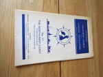
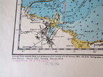
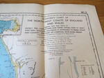
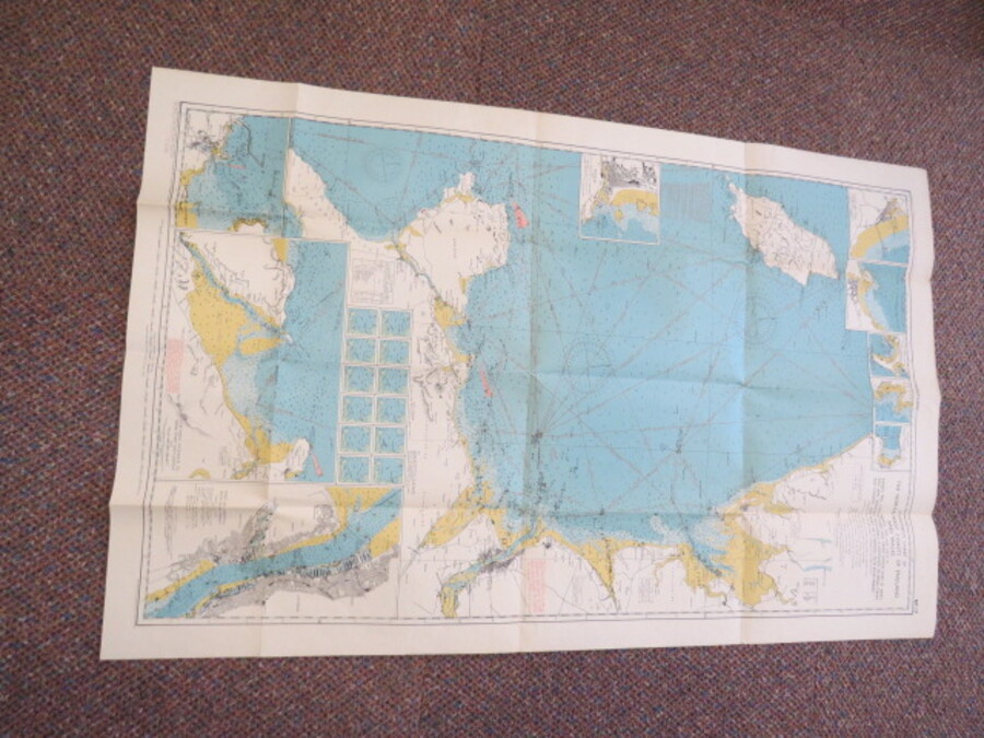
Reference 4081 (2313) Category Maps; Author Watts, O.M. Captain (Edited by) Title Stanford's Coloured Charts for Coastal Navigators No.17 The North-West Coast of England and Wales. Officially approved by the Y.M.B.A. Publishing Information London: Edward Stanford Ltd., 1960 Description New Edition - March 1957, revised March 1959, corrected to 6th August 1960. Stamped 17Dec1960. Full Title: Stanford's Chart of The North-West Coast of England and Wales together with inset charts of Ramsey, Peel, Castletown and Derby Haven, Port St. Mary, Port Erin, Douglas, Holyhead, N.Entrance to Menai Strait and Conwy, and Port of Liverpool with River Mersey. Price £15.00 Keywords ISBN Add this to your basket