Polar Books Catalogue
-
Sections : Antarctic; Arctic; Journal of the Manchester Geographical Society; Maps; Miscellaneous; Mountaineering; General Polar; Scott; Other travel; Whaling;

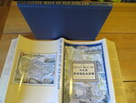
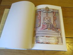
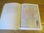
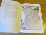
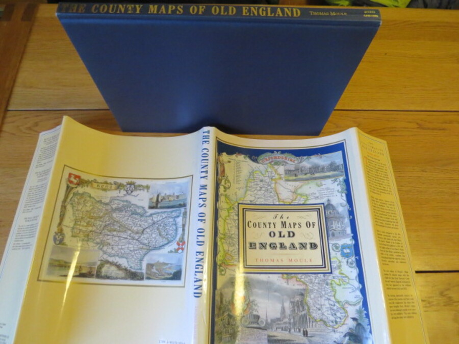
Reference 4091 (2323) Category Maps; Author Moule, Thomas (Introduction by Barron, R) Title The County Maps of Old England Publishing Information London: Studio Editions Ltd., 1990 1851704035 Description 1st Edition in this format: 127 pages, illustrated with colour maps throughout. Publishers Note: The maps and text from the Counties for this Edition of Thomas Moule's County Maps are taken from James Barclay's Complete and Universal English Dictionary published in 1842 and have been coloured. Original covers in unclipped dust jacket. A lovely book. Shelf wear, crease to dust jacket (probably form publishers when it was initially placed on book), dust jacket spine sunned with small closed repair to tail of spine, contents clean. Price £10.00 Keywords ISBN Add this to your basket