Polar Books Catalogue
-
Sections : Antarctic; Arctic; Journal of the Manchester Geographical Society; Maps; Miscellaneous; Mountaineering; General Polar; Scott; Other travel; Whaling;

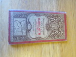
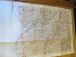
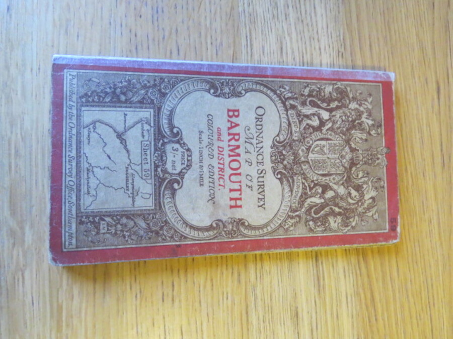
Reference 4094 (2326) Category Maps; Author Ordnance Survey Title Ordnance Survey One-Inch Map of Barmouth and District. Coloured Edition: Sheet 59 Publishing Information Southampton: Ordnance Survey, 1910 Description Third Edition: Revised in 1903-4. Published in 1910. Folding coloured map on cloth measuring 53 x 76cms folding in 24 panels to approx. 18 x 10cm. Scale One Inch to One Statute mile 1:63360. The cover is Ellis Martin's Royal Arms with mantling in dark red and brown. Closed repaired split with archival tape to one front cover section. Holes on bisections of cloth as usual, odd stain. Price £5.00 Keywords ISBN Add this to your basket