Polar Books Catalogue
-
Sections : Antarctic; Arctic; Journal of the Manchester Geographical Society; Maps; Miscellaneous; Mountaineering; General Polar; Scott; Other travel; Whaling;

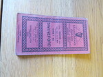
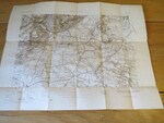
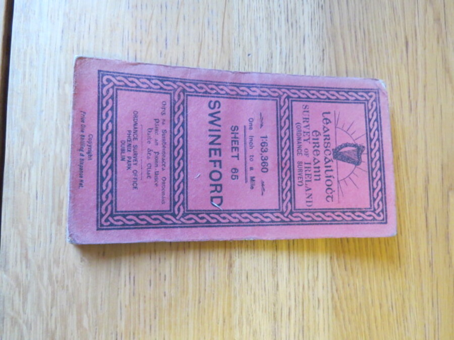
Reference 4110 (2344) Category Maps; Author Wilkinson, B.E. Capt (Engraved at the Ordnance Survey Office Dublin under the direction of) Title Learscailioct Eireann Survey of Ireland (Ordnance Survey) 1:63,360 One inch to a mile, Sheet 65, Swineford, Ireland. Publishing Information Dublin: Ordnance Survey, 1901 Description Early Edition: Surveyed in 1836-7. Revised in 1899, printed in 1905. Folding coloured map on cloth measuring 43 x 57cms folding in 18 panels to approx. 18 x 9.5cm. Scale One Inch to One Statute mile 1:63360. Red front cover with depiction of Irish harp and "Learscailioct Eireann" in Gaelic. Small holes on bisections of cloth, as usual. Price £15.00 Keywords ISBN Add this to your basket