Polar Books Catalogue
-
Sections : Antarctic; Arctic; Journal of the Manchester Geographical Society; Maps; Miscellaneous; Mountaineering; General Polar; Scott; Other travel; Whaling;


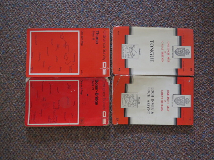
Reference 4114 (2345) Category Maps; Author Ordnance Survey Title Ordnance Survey Folding Paper Maps, Scotland x 4 Maps (Sheet 10 Tongue, Sheet 21 Bonar-Bridge, Sheet 11 Thurso, Sheet 13 Loch Inver & Loch Assynt) One inch, One-inch Publishing Information Chessington: Ordnance Survey, 1959 Description Sheet 10, Tongue, Published 1959, 1967 Reprint; Sheet 21 Bonar-Bridge, Published 1959, 1966 Reprint, black mark to front cover; Sheet 11, Thurso, published 1959; Sheet 13, Loch Inver & Loch Assynt, Published 1959, 1962 Reprint, previousowners signature lower left hand margin;4 x Folding coloured paper maps 70x84, folding in 24 panels to approx. 21.5 x 12.5cm. Scale One Inch to One Statute mile 1:63360. Price £5.00 Keywords ISBN Add this to your basket