Polar Books Catalogue
-
Sections : Antarctic; Arctic; Journal of the Manchester Geographical Society; Maps; Miscellaneous; Mountaineering; General Polar; Scott; Other travel; Whaling;


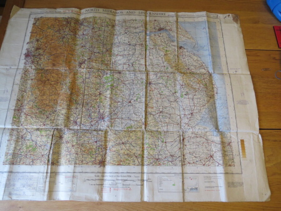
Reference 4115 (2346) Category Maps; Author Ordnance Survey of Great Britain Title Ordnance Survey North Midlands and Lincolnshire. Sheet 6; Quarter-Inch Map, Fourth Edition, Military Edition, War Revision 1940 Publishing Information The War Office, G.S., G.S., No. 3957, 1940. Description Large folding cloth map, grubby, well used, wear along foldsremnants of old stapled where it has been attached to the wall at some point. Showed all the aerodromes, landing graounds, seaplane anchorages etc., at the time. Historical reference. Price £5.00 Keywords ISBN Add this to your basket