Polar Books Catalogue
-
Sections : Antarctic; Arctic; Journal of the Manchester Geographical Society; Maps; Miscellaneous; Mountaineering; General Polar; Scott; Other travel; Whaling;
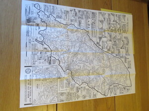

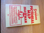
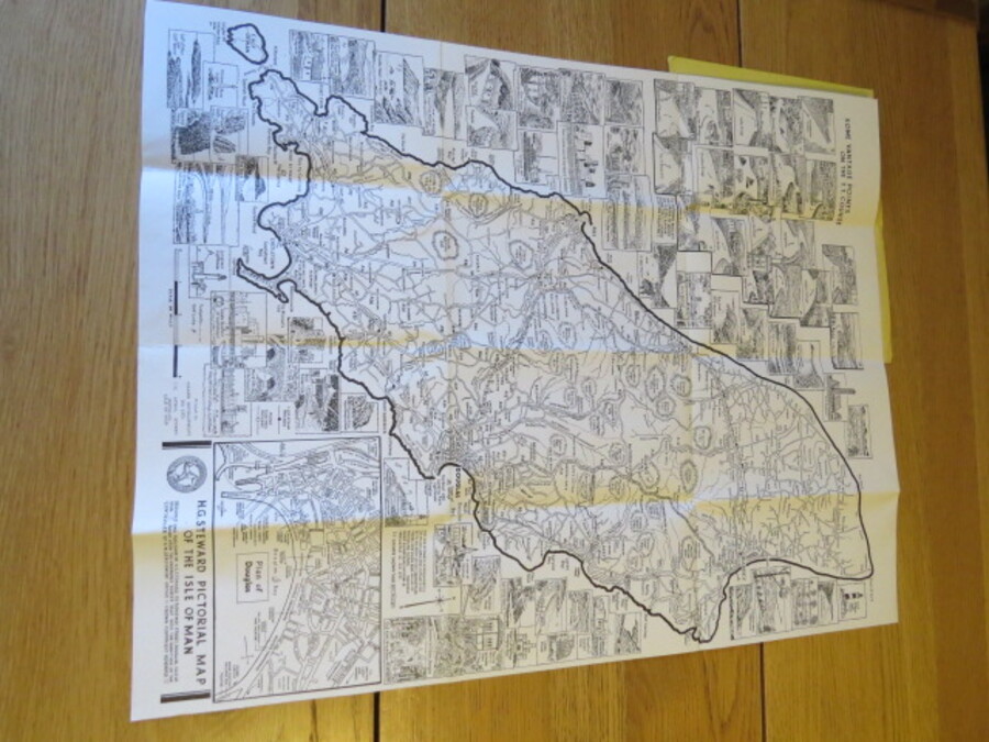
Reference 4125 (2355) Category Maps; Author Steward, H.G. Title Large Scale Pictorial Map of the Isle of Man Showing T.T. Course and vantage points, roads, railways, towns, villages, etc., and street plan of Douglas. 70 illustrations of some of the many places of interest throughout the island Publishing Information Isle of Man: Steward, H.G., circa 1965 Description Undated folding map showing TT Course & vantage points around it as well as other places of interest. Illustrated motorsport road circuit map, inset plan of Douglas Town.(undated but c1960). 58.0 x 45.0cm folding in 12 sections into a booklet approx. 21 x 12cm. The reverse is plain.Price is pre-decimal and "The Steam Packet Offices" are at their old location so pre 1965. Price £40.00 Keywords ISBN Add this to your basket