Polar Books Catalogue
-
Sections : Antarctic; Arctic; Journal of the Manchester Geographical Society; Maps; Miscellaneous; Mountaineering; General Polar; Scott; Other travel; Whaling;
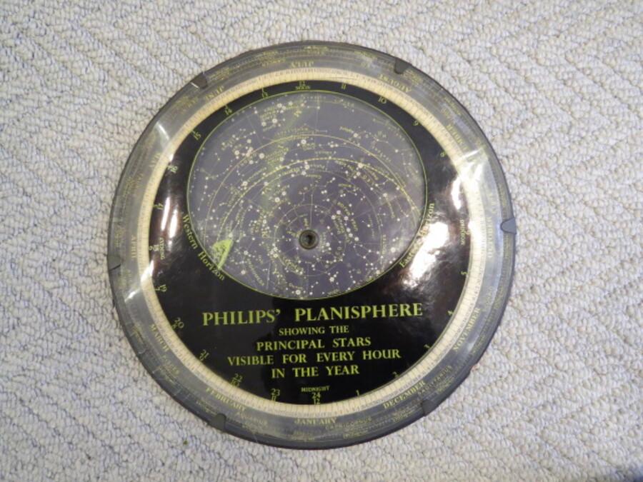
Reference 4517 (2630) Category Maps; Author George Philip & Son Ltd Title Philips' Planisphere (Star Map) - Showing the Principal Stars Visible for Every Hour of the Year - For Latitude 51½°N Publishing Information London: George Philip & Son Ltd., Circa 1970s Description Moveable guide to reading the stars. 10 inch circular Plastic Sphere with central Brass Grommet on which the device turns to show changing star chart. The first planisphere is thought to have been made in 1624 by German astronomer Jacob Bartsch. The days of the year are marked on the outer portion of the star chart, and hours of the day and night along the edge of the overlay. The stars visible at a particular date and time can be seen through the elliptical aperture in the overlay, by aligning the disk and the overlay accordingly. No date but pre 1972 as prices for other astronomical aids advertised on the back produced by George Philip and Sons are in pounds and shillngs and pence. Slightly grubby plastic disc with paint smudge or similar on smal part, no case. Price £30.00 Keywords ISBN Add this to your basket